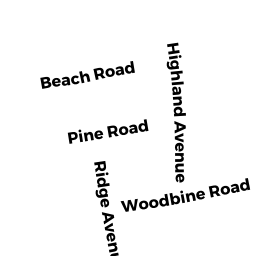
0 HIGHLAND AV - PC
Owner Information
CLAY NEAL JR & CLAY BRUCE W ETAL
109 VALLEY RD
BOXFORD, MA 01921


Property Details
0 HIGHLAND AV - PC is classified as a Accessory Land with Improvement (Outbuildings).
0 HIGHLAND AV - PC is valued at $312,512. The land is valued at $311,212 and the structures are valued at $0. There is an additional valuation of $1,300 on this property.
This property is in Zone W30. Confirm with local Zoning Board authorities to ensure there are no overlays or other easements on this property.
The most recent deed for 0 HIGHLAND AV - PC is recorded at the local registrar in Book 36158, Page 215. 0 HIGHLAND AV - PC was last sold on Sunday, June 8, 2008 for $1.
Assessment data from fiscal year 2022.
Flood Data
This property is partially within the AE Zone (within floodplain). Approximately 0.01 acres (2.23%) of the property is within this zone.
The base flood elevation for this flood zone is 15 feet.
This information is sourced from the FEMA National Flood Hazard Layer. See our full disclamer.
Broadband Internet Providers
| Provider | Type | Bandwidth (mbps) | |
|---|---|---|---|
| Verizon New England Inc. | DSL | 1 | 0 |
| Viasat Inc | Satellite | 35 | 3 |
| VSAT Systems, LLC. | Satellite | 2 | 1 |
| HughesNet | Satellite | 25 | 3 |
| GCI Communication Corp. | Satellite | 0 | 0 |
| Comcast | Cable | 1000 | 35 |
| Verizon New England Inc. | Fiber | 940 | 880 |
Broadband service provider data from December 2020.